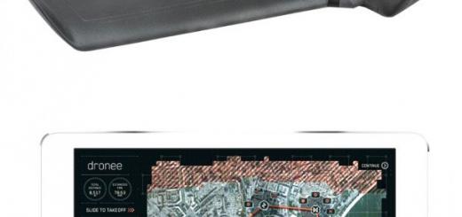
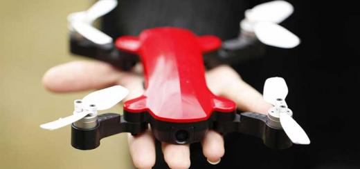
5 Drone Mapping Apps for iPhone & iPad
0Drones are wonderful tools to use for aerial cinematography. Advanced UAVs have many business applications. They can be used to monitor farms, job sites, and everywhere in between. Thanks to these drone mapping apps, you are going to have an easier time producing high resolution maps and 3D models:
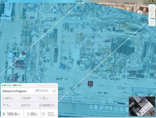
Flight1: a drone mission planner that lets you capture data to generate maps and models. You can select the area you want to map and the app generates the flight plan automatically. Users will also be able to see a live video feed from their drone in the app.
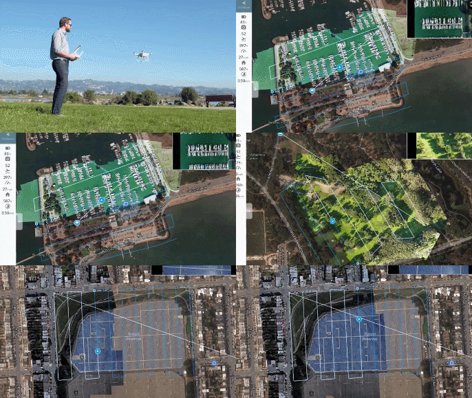
DroneDeploy: a cloud-based software platform that lets you fly your DJI drone autonomously to capture and generate high resolution maps and 3D models. It supports multi-flight missions and custom parameters. You can also generate and view maps as your drone flies.
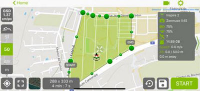
Pix4Dcapture: turns your drone into a mapping tool. It captures RGB, multispectral, and thermal data automatically and works with a wide variety of DJI and Parrot drones. Lets you adjust flight parameters for each mission.
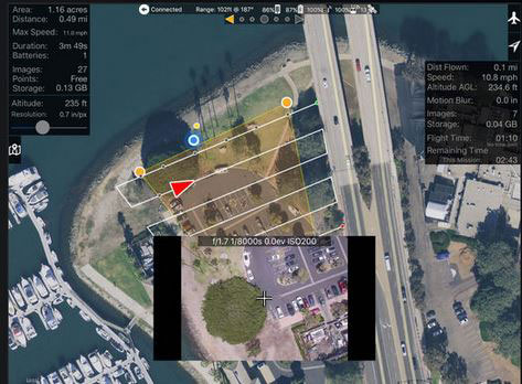
Map Pilot for DJI: lets you create optimal flight paths for better aerial maps. It has a built-in simulator for testing. It is compatible with Mavic, Phantom, Inspire, and Matrice drones.
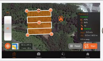
SkyDrones: turns your DJI drone into a safe tool for mapping and measurement tool. You will be able to select an area for mapping and start autonomous missions on your smart device. Linear, irregular area, and vertical missions are supported.
Have you found better drone mapping app? Please share them here.


