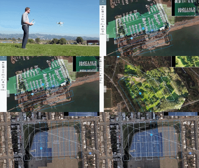
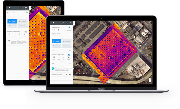
Here is an innovative solution from DroneDeploy that gives you access to real-time drone mapping on your iPhone or iPad. Live Map gives you a bird’s eye view of your site, mine, field, and everywhere else. It increases situational awareness for workers.

Live Map doesn’t require a SD card or data upload to work. It generates aerial insights in seconds and syncs the data to the cloud. With RGB and thermal cameras on your drone, you will be able to closely monitor your field. For instance, you can use something like this for crop health analysis or disaster relief coordination.


Live Map is compatible with DJI Phantom 4 drones and newer. You can find out more about it here.
Robosen's robots have gotten a lot of coverage in the media. They can change form…
In the past few years, we have covered plenty of app connected Rubik's Cubes…
Meet the Garmin vivoactive 6: a new advanced smartwatch that can track your fitness sessions,…
Keeping your pool's water clean takes effort. You will have to deal with leaves and…
In the past few years, we have seen plenty of clever flashlights on Kickstarter and…
STEM robots are amazing tools for teaching kids the basics of coding. Ari is the…