5 Military Grade Navigation Apps for iPhone
0There are plenty of iPhone GPS apps available for drivers, hikers, cyclists and people who spend a lot of time outdoors. The armed forced have a different set of needs though. Here are 5 military grade iPhone navigation apps you don’t want to miss:
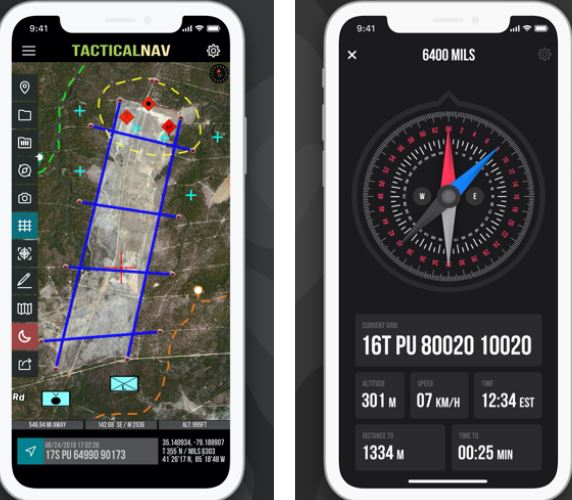
Tactical NAV: a military MGRS navigation app with offline mapping capability. It allows users to pinpoint their location with extreme accuracy. It can acquire MGRS/UTM/BNG/LAT-LONG coordinate to any position on the map. It has location, waypoint, and photo sharing capabilities.
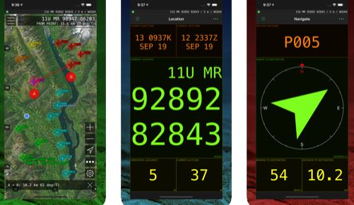
MilGPS: an MGRS/USNG iPhone navigation tool for soldiers and search & rescue personnel. It lets you create unlimited waypoints and offers live updates. Lets you use Google and Apple maps.
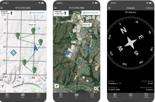
Land Nav Assistant: accepts MGRS (Military Grid) or Latitude / Longitude coordinates and keeps track of distance, speed, and angles. Can show distance and direction between two points. Lets you download your locations as a spreadsheet.
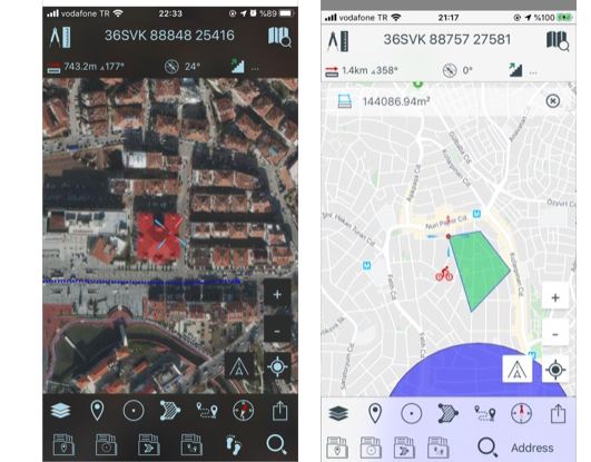
Mgrs & Utm Map: a GPS app for military personnel. It uses GPS, GALILEO and GLONASS to give you an accurate position lock.
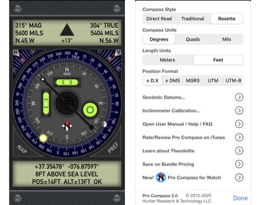
Pro Compass: turns your iPhone into a classic pocket compass. It has 9 compass modes capable of displaying degrees, quads, or mils. Pro Compass shows both magnetic and true direction simultaneously. The app has a built-in two-axis inclinometer too.
Have you found better iPhone navigation apps for military? Please share them here.


