5 Quality Topo Maps Apps for iPhone
2Planning to spend some time in the outdoors? Getting your hands on a decent navigation app just for the outdoors is not a bad idea. Unfortunately, not all the navigation apps available in the App Store come with a decent topo maps. These 5 iPhone apps provide you with decent topo maps ideal for hiking and backcountry activities:

Offline Topo Maps: one of the better topo maps apps we have tested. It provides you with USGS topo maps, aerial imagery, and OpenStreetMap-based topo/road maps.
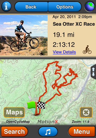
MotionX GPS: one of the best GPS apps around. The developers behind this app have a great track record too. You could use it for outdoors navigation and other purposes (cycling, hiking, running, paddle boarding, sailing, and …).
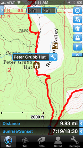
Gaia GPS: more than just a topo maps app, this tool also serves as your GPS tracker. It covers topographic, satellite imagery, and road maps.
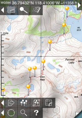
Topo Maps: provides you with more than 69k maps covering the United States, Canada, and other areas in this region. You won’t need a network connection to use these maps.
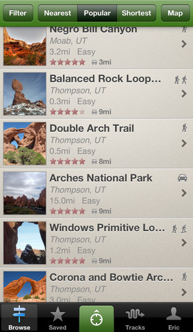
AllTrails: this application provides you with high quality trail guides. You can use this to track your rides and access trails even when you don’t have access to the Internet.
Have you found better topo maps apps? Please share your suggestions below.




Thanks for the review. There are apps that I did not know. Have also a look at this app: https://itunes.apple.com/us/app/maps-3d-gps-track…
I think it is worth it for biking or walking in the outdoors.
Here is another really good topo app for the iPhone. It has a much better UI than the ones you reviewed. https://itunes.apple.com/us/app/topo-maps+/id672246353?mt=8